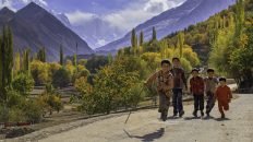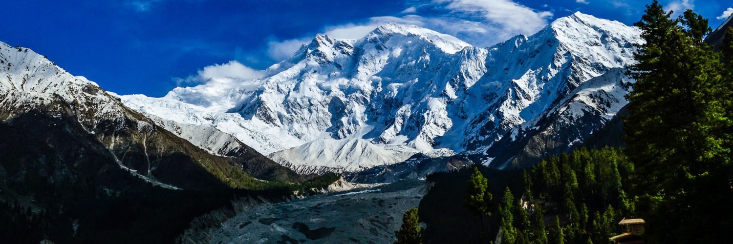

Nanga Parbat, also called Diamir, one of the world’s tallest mountains, 26,660 feet (8,126 metres) high, situated in the western Himalayas 17 miles (27 km) west-southwest of Astor, in the Pakistani-administered sector of the Kashmir region. The mountain’s steep south wall rises nearly 15,000 feet (4,600 metres) above the valley immediately below, and the north side drops about 23,000 feet (7,000 metres) to the Indus River.
Nanga Parbat is lying on the borderline between Pakistan and India is known as King of Mountains. It is the world’s 9th highest mountains with its altitude 8125m. Nanga means naked and Parbat means mountain. The Rakhiot (Ra Kot) face is dominated by the north and south silver crags and silver plateau; the Diamir face is rocky in the beginning. It converts itself into ice fields around Nanga Parbat peak. The Rupal face is the highest precipice in the world. It is not part of the Karakoram as it is the western extremity of the mighty Himalaya. It is separated from the Karakoram by the mighty Indus River. The first expedition to Nanga Parbat was British expedition led by A. F. Mummery in 1895 but it was first climbed in 1953 by a joint Austrian – German Expedition. Hermann Buhl made the final ascent in a tortuous 41 hours solo ordeal without oxygen. Mountaineers have tried to ascent its summit through different routes but only few lucky ones have succeeded.
Facts: Nanga Parbat is known as Man eater. It claimed 31 lives before it was conquered in 1953.Nanga Parbat’s normal route is not extremely technical, but it’s long and exposed. The mountain is infamous for bad weather and the route offers many tricky sections. It’s considered as one of the hardest peaks.